
CO Hwy 91 NB at Copper Rd in Copper Mountain
(from CDOT)
Colorado Web Cams
Copper Mountain, Colorado
Vail Pass, Colorado
(Note: This page may need reloading on some browsers for new views)
- First Cams come from Copper Mountain-
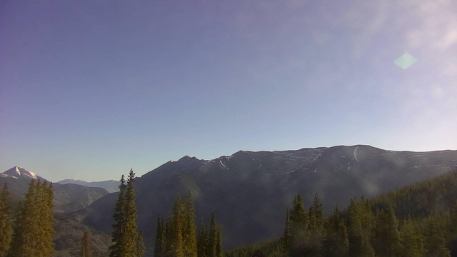
Copper Mountain is a both a mountain and ski resort located in Summit County, Colorado, about 75 miles (120 km) west of Denver on Interstate 70. Copper Mountain Ski Resort's highest runs are: A base elevation of 9,712 feet (2,960 meters) and rises to a summit elevation of 12,313 to 12,441 feet (3,753 to 3,792 meters). It offers a total vertical drop of roughly 2,601 to 2,738 feet (793 to 834.5 meters) and has 2,465 acres (997.6 hectare) of in-bounds terrain. The resort hosted the World Cup tour in 1976 with four alpine ski races. The mountain is also the starting point of Colorado's Cyclist Triangle Alpine Cycling Classic, a road-cycling circuit that has been the home of the annual event since 2005.
Copper Mountain is a year-round resort, with not only skiing in the winter, but in the summer it has several different activities happening, from golf to go-karts, Rocky Mountain Coaster rides to scenic mountain views, free yoga sessions to guided nature hikes.
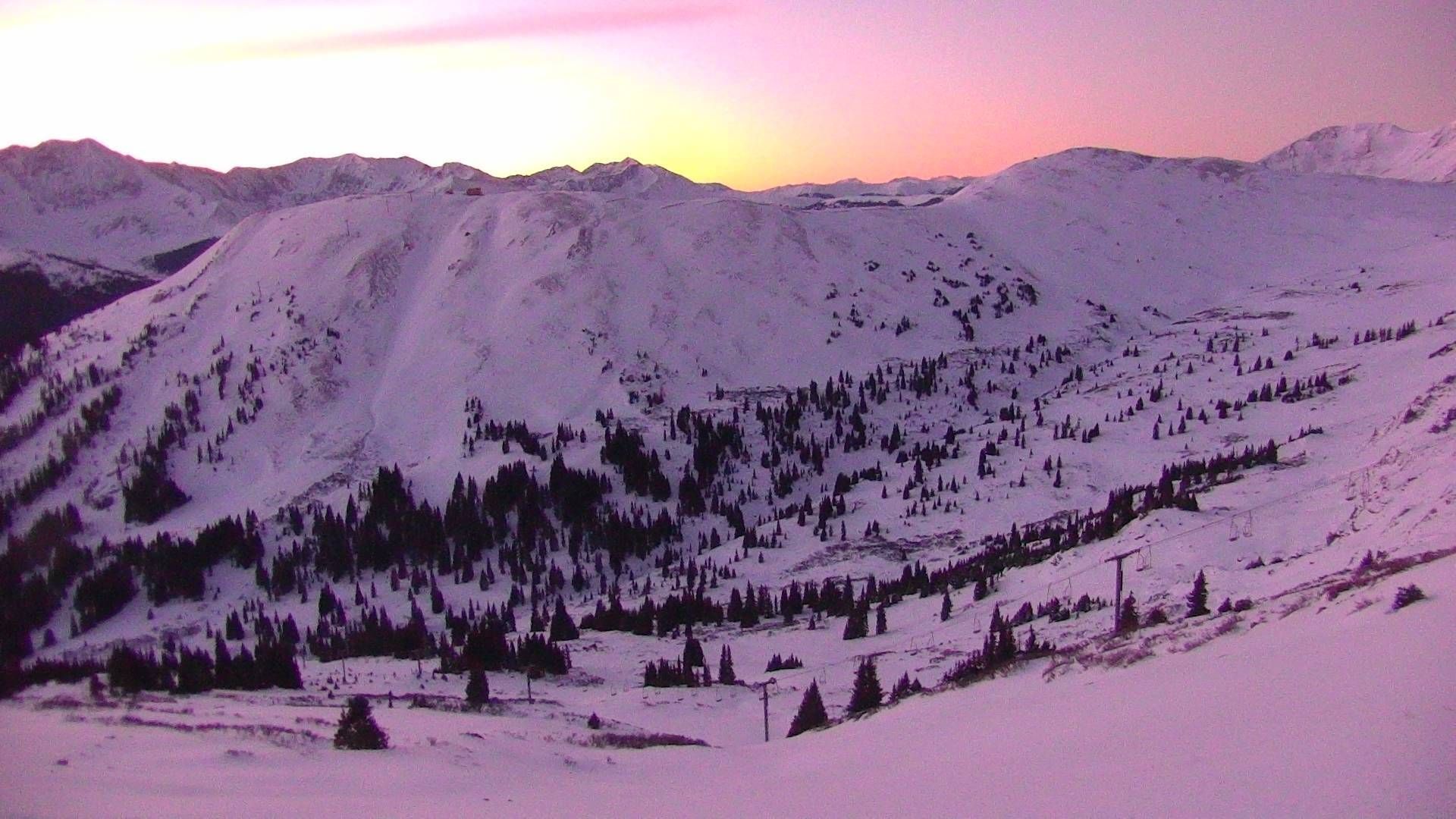
There is a SNOTEL weather station for Copper Mountain located at 10,550 feet (3,216 meters). The mountain has a subalpine climate. Copper Mountain receives an average of 246 to 310 inches (625 to 787 centimeters) of snow per season and experiences its heaviest snowfall between December and March. The record low temperature at the station was −30°F (−34°C) set in December (no date given) and the warmest temperature was 81°F (27°C), set on at least a couple of different days in both June and July.
CO Hwy 91 NB at Copper Rd in Copper Mountain (from CDOT) |
Copper Mountain
Aerie Cam
(from
Copper Mountain Ski Resort)
Copper Mountain
Excelerator Cam
(from
Copper Mountain Ski Resort)
Copper Mountain
Union Peak Cam
(from
Copper Mountain Ski Resort)
- Vail Pass -
Vail Pass is a 10,666-foot-high (3,251 meters) mountain pass in the Rocky Mountains of central Colorado. It lies on the boundary between Eagle and Summit counties, between Vail on the west and Copper Mountain on the east. Vail Pass has been the site of periodic human occupations for at least 8,000 years. The prehistoric camp probably served as a high-altitude base when the growing population of nearby Native American groups caused them to expand their area for more resources and land.
In 1940 a paved highway was completed over the pass, the road to the summit is 20.4 miles (32 km) long. In the 1970s, the route was upgraded to Interstate 70. The road features a maximum grade of approximately 7% to 8% on both the eastbound and westbound sides. Yes, a true high-elevation pass, with the westbound descent being particularly notable for its 7% grade - for over 7 miles. No wonder the pass has been featured on dangerousroads.org as one of the most difficult sections of road to navigate in Colorado.
Vail Pass features an alpine climate characterized by long, cold, snowy winters and short, mild summers. High temperatures rarely exceed 75°F (24°C) in summer and plunges well below freezing in winter, with snow possible almost year-round and with heavy winter snowpack. Snowfall per season is typically around 200 to 300+ inches / 508 to 762 centimeters of annual snowfall.

I-70 WB : 2.0 miles West of CO 91 Copper Mountain

I-70 WB : 1.6 miles E of Vail Pass Summit
(I-70 northwest of Copper Mountain)
- Map -
| Colorado Web Cams | Breckenridge | Crestone Weather Center |