Colorado Web Cams
Eisenhower/Johnson Memorial Tunnel, Colorado
The Eisenhower-Johnson Memorial Tunnel is a vital connection to safely move people and goods from the eastern slope of the Rocky Mountains to the western slope. This tunnel is the result of more than 50 years of discussion, planning, designing, and construction- with the Eisenhower Bore opening in 1973 and the Johnson Bore opening in 1979. When completed in '79, it was one of the last major pieces of the Interstate Highway system to be completed.
Located about 60 miles/97 km west of Denver on Interstate 70, the tunnel traverses through the Continental Divide at an average elevation of 11,158 feet / 3,401 meters. It is the highest vehicular tunnel in the world and is the longest mountain tunnel and highest point on the Interstate Highway System. When originally opened in the 1970s, the tunnel was not only the highest vehicular tunnel in the US, but at that time it was also the highest overall tunnel in the world. Since then, higher tunnels (mainly water tunnels) have been built across the globe.
The length of the westbound/Eisenhower Bore is 1.69 miles/2.7 km, and the length of the eastbound/Johnson Bore is 1.7 miles/2.7 km. The westbound tunnel curves slightly to the left, about midway into the mountain. The approach grades are steep, being 7% on the west approach and 6% on the east approach. Maximum excavated height for the tunnels is 48 feet, with a width of 40 feet.
Originally called the "Straight Creek Tunnel", most folks in Colorado today just call it "The Eisenhower Tunnel" for short, as the name seems a bit too long to locals. The westbound bore was named for U.S. President Dwight D. Eisenhower. It was renamed in 1972 to honor him shortly after his death, recognizing his role in initiating the Interstate Highway System. The eastbound bore was named after Edwin C. Johnson, a past governor and U.S. senator who served Colorado and who had actively supported an interstate highway system to be built across the state.
Annual snowfall at the tunnel averages 315 inches / or 26 feet / or 800 centimeters, from November through April. However, snowstorms have occurred at the tunnel in every month of the year other than in July and August, yet it has seen light snow fall a few times in those summer months, too. The highest recorded snowfall in a single season at the adjacent Loveland Ski Area (which straddles the tunnel) was the Snow Season of 2010-2011, when 595 inches / 1,511 centimeters fell. The lowest Snowfall Season took place in 2025-2026, when only 176 inches fell (as of May 4 , I'll update after the snow season is over - if I remember, but more snow should fall in May).
(Note: This page may need reloading on some browsers for new views)
![]() I-70 at the Eisenhower/Johnson Tunnel
I-70 at the Eisenhower/Johnson Tunnel![]()

I-70 EB: at the Eisenhower/Johnson Tunnel West Portal

I-70 EB: at the Eisenhower/Johnson Tunnel
East Portal

I-70: 0.7 mile E of the Eisenhower/Johnson Tunnel

I-70 WB : 1.7 miles W of Eisenhower Tunnel
- by runaway truck ramp

I 70
2.9 miles W of Eisenhower/Johnson Tunnel

I-70,3.8 miles West of Eisenhower/Johnson Tunnel
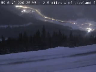
US-6 WB, southeast of Eisenhower/Johnson Tunnel

US-6, southeast of Eisenhower/Johnson Tunnel
All cams come from CDOT
- Map -
| Colorado Web Cams | Loveland Ski Area | Arapahoe Basin | Crestone Weather Center |