Colorado Web Cams
Pikes Peak, Colorado
(Note: This page may need reloading on some browsers for new views)
Pikes Peak is the highest summit of the southern Front Range of the Rocky Mountains in North America. The 14,115 foot (4,302.31 meter) fourteener is located in Pike National Forest,
with its base located in the town of Manitou Springs, and 12.0 miles (19.3 km) west of downtown Colorado Springs. The mountain is named
after American explorer Zebulon Pike, who tried, but was unable to reach
its summit. The summit is higher than any point in the United States east of its longitude. Pikes Peak is one of Colorado's 54 fourteener mountains
(peaks that are more than 14,000 feet / 4,267.2 meters above sea level). It is the 65th
tallest mountain in the U.S and the 34th highest mountain in Colorado, and
is the state's most famous mountain (and perhaps the country's, too).
Pikes Peak has had many names in the past. The Native American Ute people where the first to call this area (the Pikes Peak region) their home (around 500 AD) and first named the mountain "Tava" ("Sun Mountain" in English). When the Arapaho people arrived in Colorado, they knew the mountain as Heey-otoyoo' meaning "Long Mountain". Other tribes, like the Pawnee, called it Tûs Pêh ("Where the Heavens Touch the Earth"). When the Europeans arrived, they called the mountain El Capitán, Grand Peak, Great Peak, James Peak, Long Mountain, and finally, Pike's Peak. The name was simplified to "Pikes Peak" by the United States Board on Geographic Names in 1890.
The Peak is accessible via the 19-mile Pikes Peak Highway, the Pikes Peak Cog Railway, or hiking trails like Barr Trail. The summit offers panoramic views, and a visitor center. It famously inspired Katharine Lee Bates to write the song "America the Beautiful", after she visited the summit in 1893. Also, The Pikes Peak Ascent and Marathon, a race held since 1956, is a round trip between the trailhead and Pikes Peak. This running competition that begins at the base of Pikes Peak, in Manitou Springs, climbs over 7,815 feet (2,382 meters) to the top of the 14,115 foot (4,302 meter) peak. The event takes place each year in late summer, with the Ascent taking place on a Saturday (slightly longer than a half-marathon, at 13.3 miles), and the round-trip marathon on Sunday (a total of 26.2 miles). This race puts the Boston Marathon to shame, even if it's as long in miles, it's a climb up a fourteener, with a lot less oxygen to breath in, which makes it significantly harder than the Boston Marathon to run, yet it's barely even covered by the national media, something I'll never understand!
The summit of Pikes Peak has a polar climate due to its elevation. Snow is a possibility any time year-round, and thunderstorms (sometimes with high winds gusting up to 100 miles per hour / 160 km/h, or more), are common in the afternoons. As far as weather records noted for temperatures and snowfall, there aren't any reliable ones to note. However, do check out the link below for the current weather conditions.
Pikes Peak Observatory
Cameras
Located on the summit of
Pikes Peak
- Current Weather Conditions on Summit -
All
cams from https://coloradosprings.gov/pikespeakcameras
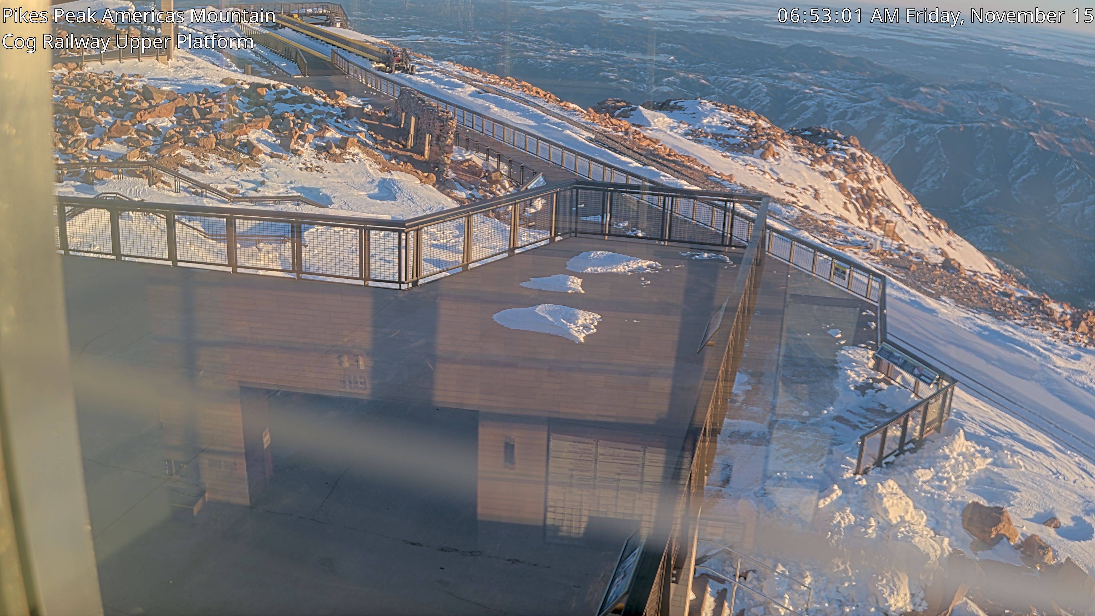
![]() Cog Railroad Upper
Platform
Cog Railroad Upper
Platform ![]()
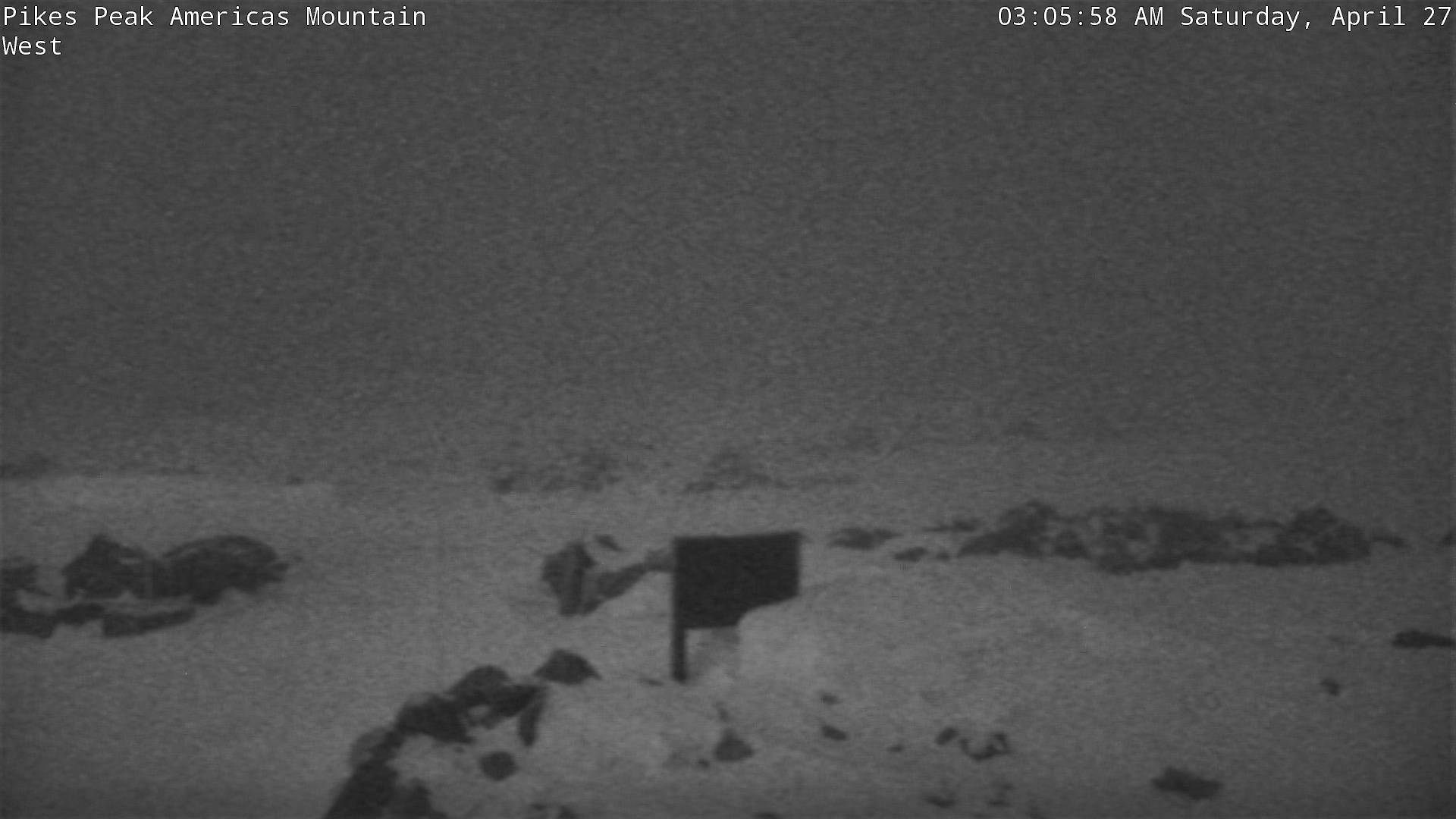
![]() Looking West
Looking West
![]()
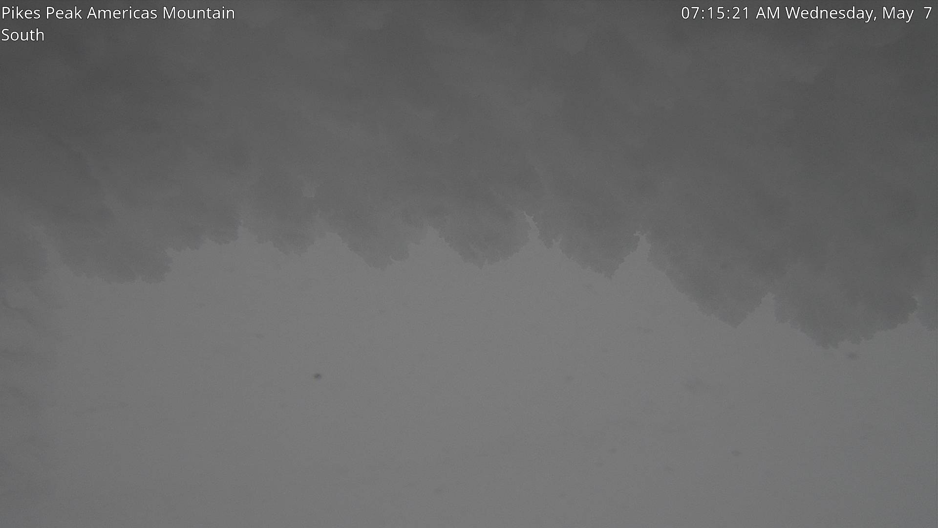
![]() Looking South near Entrance to Summit Parking Lot
Looking South near Entrance to Summit Parking Lot
![]()
![]() Cog Railway Tracks
Cog Railway Tracks
![]()
![]() Looking
North - Looking at what's left of the old, original
Summit House
Looking
North - Looking at what's left of the old, original
Summit House
![]()
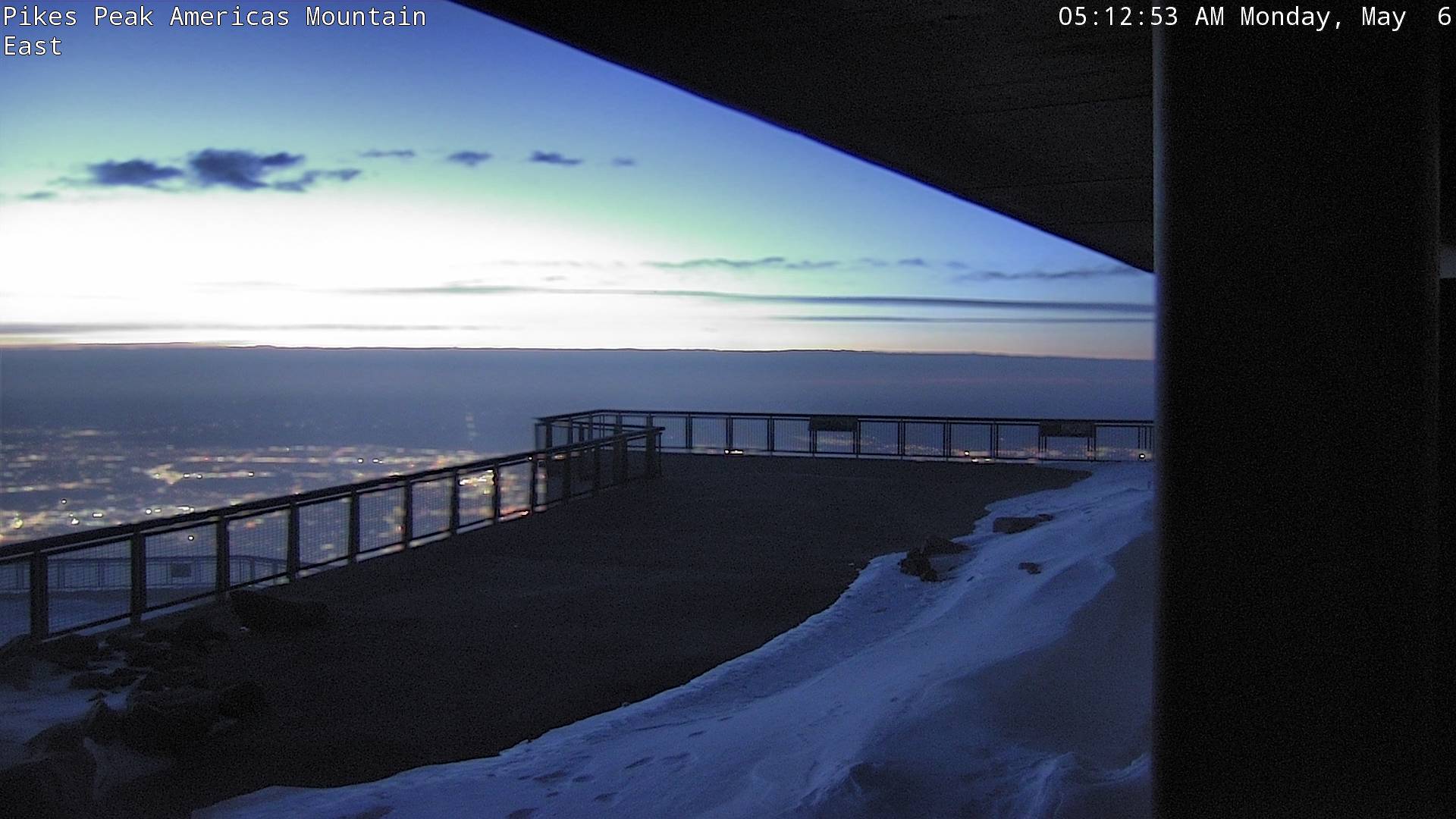
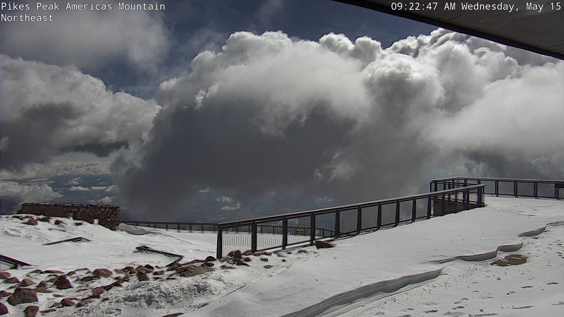
![]() Looking Northeast
Looking Northeast
![]()
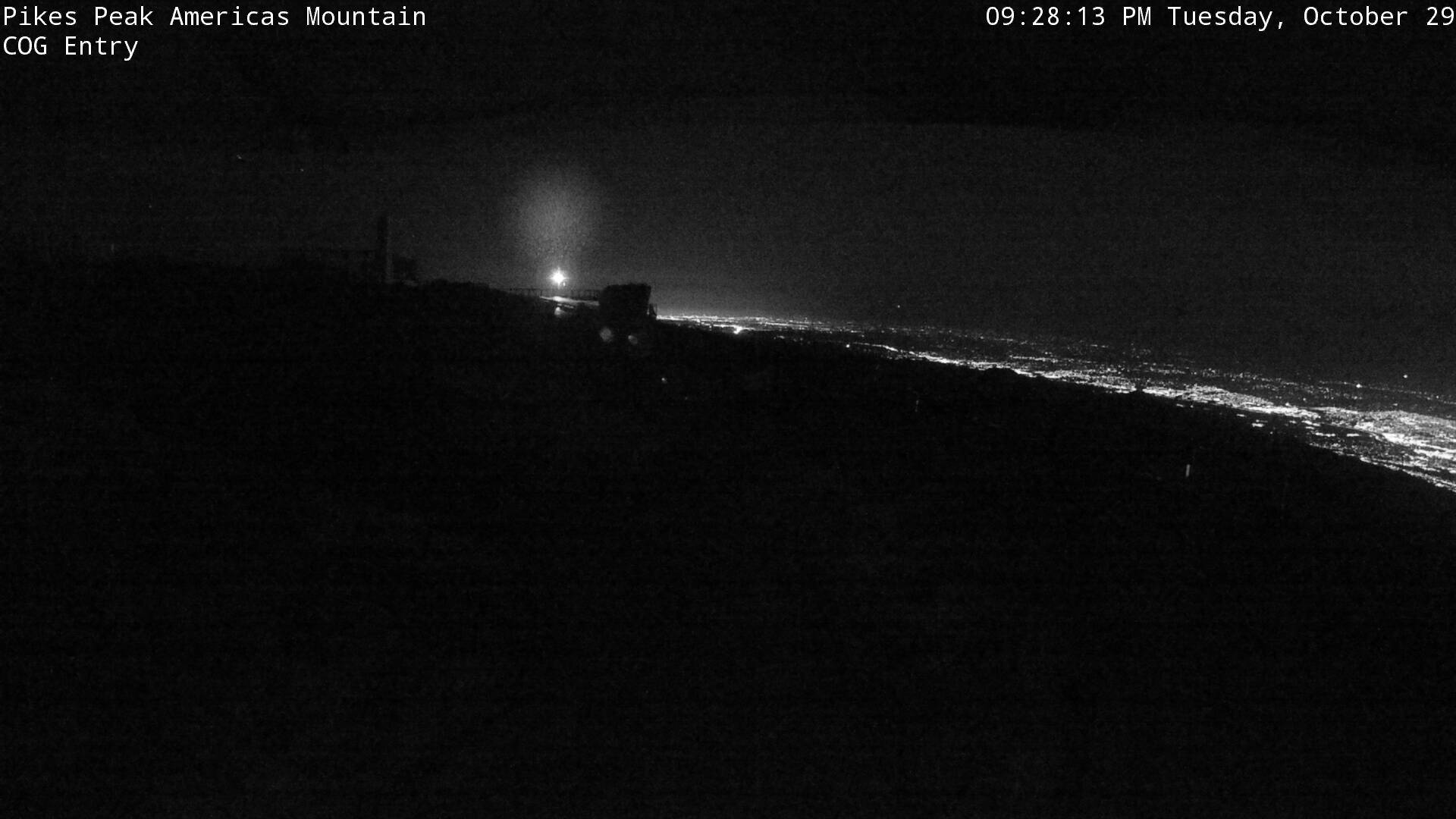
![]() Cog Entry
Cog Entry![]()
![]() Vestibule, looking south
Vestibule, looking south
![]()
- Map -
| Colorado Web Cams | Manitou Springs | Woodland Park | Crestone Weather Center |