Colorado Web Cams
Sangre de Cristo Mountains, Colorado
(Note: This page may need reloading on some browsers for new views)
The Sangre de Cristo Mountains (sometimes spelled as "San de Cristo" in English) are the southernmost subrange of the Rocky Mountains. They are located in southern Colorado and northern New Mexico. The mountains run from Poncha Pass in South-Central Colorado, trending southeast and south, ending at Glorieta Pass, southeast of Santa Fe, New Mexico, extending south-southeastward for about 250 miles (400 km). They contain a number of glaciated summits of 14,000 feet (4,300 meters) plus peaks in the Colorado portion and are one of the longest fault-block mountain ranges in the world. They are divided into the Culebra and Sangre de Cristo ranges in Colorado with Blanca Peak at 14,345 feet (4,372 meters) being the highest. The southern portion culminates at Wheeler Peak (13,161 feet [4,011 meters]), which is New Mexico’s highest point.
Headstreams of the Pecos and Canadian rivers originate within the range, which is embraced by San Isabel, Rio Grande, Carson, and Santa Fe national forests and includes Great Sand Dunes National Park in Colorado and the Pecos national monument in New Mexico. Tourism and mining are the main economic activities.
The name of the mountains may refer to the occasional reddish hues observed during sunrise and sunset, and when alpenglow occurs, especially when the mountains are covered with snow. Although the particular origin of the name is unclear, it has been in use since the early 19th century. While the sunset/alpenglow was the most accepted reason, christian lore suggested years later that it came from the last words of a dying Franciscan priest, who was killed by native Americans as he was trying to convert them, since "Sangre" means blood, and "Cristo" means Christ in Spanish. Before any of this, the terms "La Sierra Nevada", "La Sierra Madre", "La Sierra", and "The Snowies", were used by English speakers for this Rocky Mountain subrange.
The Sangre de Cristo Mountains have a highly varied alpine climate, ranging from semi-arid at lower elevations to cold, snowy conditions on high peaks exceeding 14,000 feet. High peaks above 10,000 feet (3,048 meters), experience alpine tundra conditions with very cold winters and short, cool summers. Mid-Elevation slopes are dominated by coniferous forests with moderate temperatures and significant snowpack. Overall, The Sangre de Cristo Mountains peaks generally experience very heavy seasonal snowfall, with significant accumulations often from 300 inches (762 cm) to exceeding 400 inches (1,016 cm) annually at higher elevations.

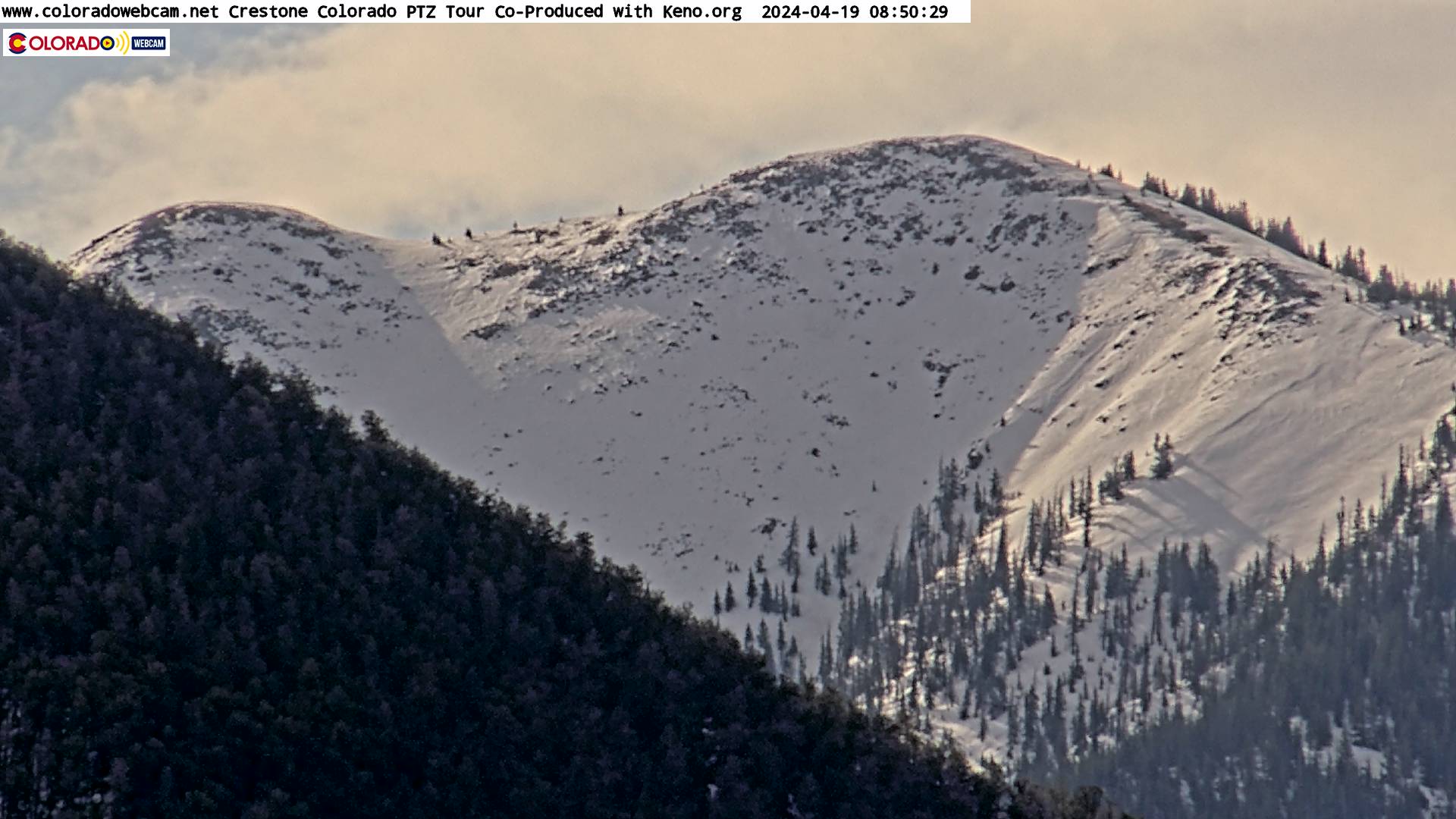
Northern Sangre de Cristo Mountains
Viewed from Poncha Pass, looking towards the peaks around the Crestone
area
(Cam from C-DOT)
Northern Sangres/Crestone Peaks, Crestone CO
- Click
here
for streaming view
West side of Sagres, looking east from
Crestone,
CO. 13,941' Mount Adams (left), 14,171' Mount
Crestone (right)
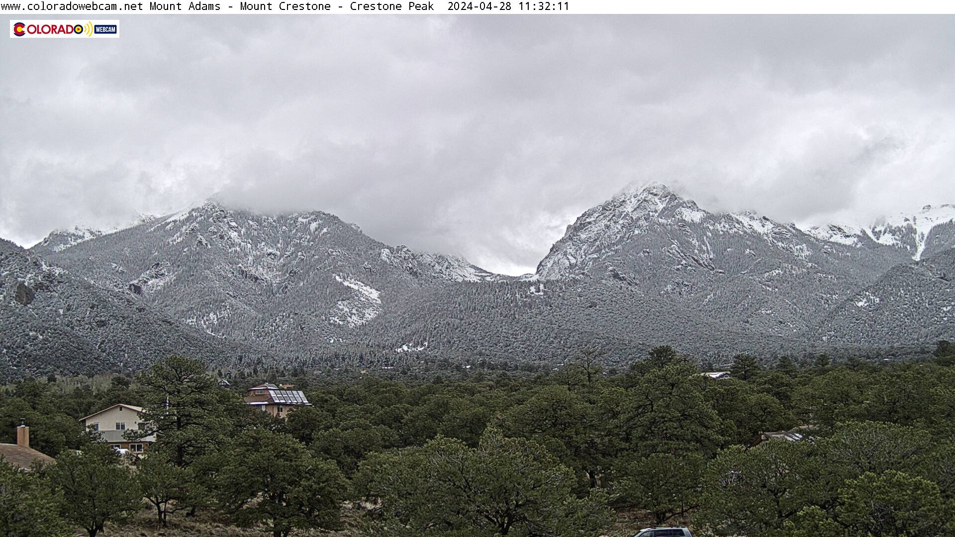
Northern Sangres/Crestone Peaks, Crestone CO -
Click
here
for streaming view
West side of Sagres, looking east from
Crestone,
CO. 14,171' Mount
Crestone (left) and 14,300' Crestone Peak (far right)
Northern Sangres - East side, by Westcliff
(from Sangredecristoweather.com)
View of the Spanish Peaks (looking north)
(Cam from Coloradowebcam.net)
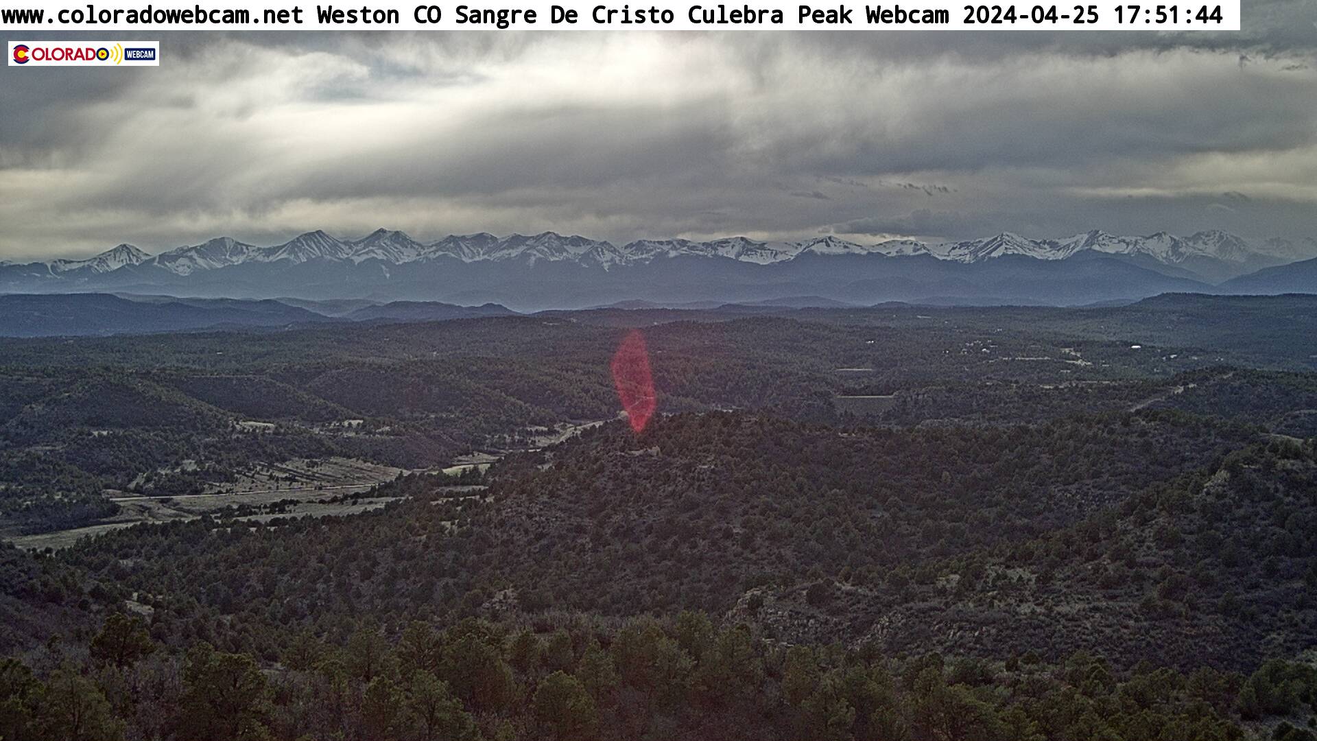
Sangre de Cristo Mountains
(Cam from Coloradowebcam.net)

Hwy 160, looking west towards La Veta Pass, West of Walsenburg, Colorado
(from CDOT)
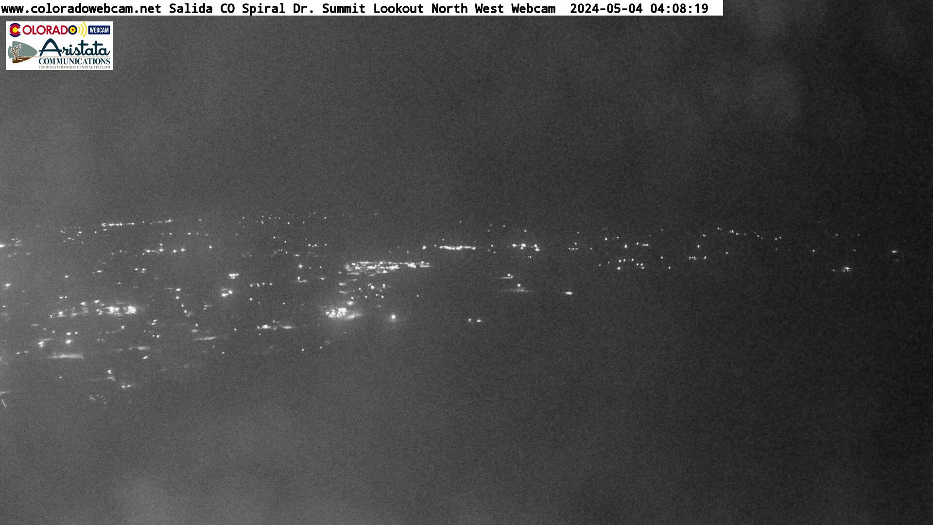
Looking South towards the Sangre De Cristo Mountain Range from Salida Colorado
From the top of S Mountain Trail (from https://www.coloradowebcam.net/)
- Sangre de Cristo Mountains Map -
(Map is showing a location near the Colorado/New Mexico border. Just hit the minus ["-"] key for a larger view of the area and then use your mouse to move around the map by holding down either mouse button)
| Colorado Web Cams | Westcliffe | Crestone Weather Center |